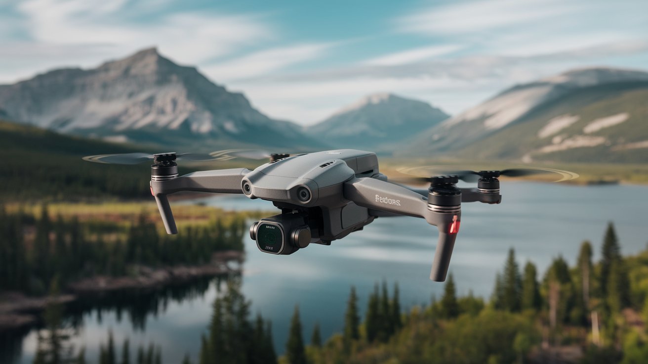
Drones have revolutionized visual storytelling and practical data collection, providing breathtaking aerial perspectives once only accessible with costly equipment like helicopters, cranes, or specialized aircraft. This guide delves into advanced techniques and diverse drone photography and videography applications, addressing user needs with clarity and authority.
Elevating Aerial Videography: Techniques for Cinematic Mastery
Drone cinematography transcends basic flight recording—defined as simply capturing raw footage from a stable drone—offering the potential to create stunning, cinematic visuals. Master these techniques to transform your aerial footage:
Mimicking Traditional Camera Movements
Drones can replicate classic film techniques:
- Dolly Shots: Achieve smooth horizontal movement parallel to the subject, emphasizing scale and depth.
- Crane Shots: Simulate vertical boom movements to reveal scenes dramatically from above.
- Circular Orbits: Create dynamic perspectives by flying a smooth orbit around your subject.
Optimizing Frame Rates and Resolutions
- Frame Rates: High frame rates (e.g., 60fps) enable smooth slow-motion playback.
- Resolution: Higher resolutions (4K or higher) provide detailed visuals ideal for professional projects.
Understanding the balance between resolution, frame rates, file sizes, and processing capabilities is crucial for efficient production workflows. For example, using a 4K resolution with 60fps may produce stunning visuals but requires robust processing power, while opting for 1080p at a lower frame rate can streamline editing on less powerful systems, enhancing efficiency without sacrificing quality for smaller projects.
Mastering Post-Production
Post-production is where drone footage shines:
- Color Grading: Enhance mood and atmosphere by fine-tuning hues, contrast, and saturation.
- Seamless Integration: Seamlessly mix color, exposure, and movement to incorporate drone shots into larger projects.
The Art of Aerial Composition: Principles for Impactful Photography
Aerial photography offers unique opportunities to apply classic compositional principles in innovative ways:
Utilizing Leading Lines and Patterns
- Leading Lines: Use roads, rivers, or other natural lines to guide the viewer’s eye.
- Patterns: Identify geometric patterns, such as agricultural fields or urban grids, for striking abstract images.
Symmetry and the Rule of Thirds
- Symmetry: Overhead shots of landscapes or architecture emphasize balance and harmony.
- Rule of Thirds: Position key elements along imaginary gridlines for visually pleasing results.
Exploring Unique Perspectives
Experiment with altitudes, angles, and viewpoints to uncover hidden beauty in everyday scenes. Drone photography’s true power lies in its ability to provide perspectives impossible from the ground.
Drone Photography for Real Estate: Revolutionizing Property Marketing
Drones have become indispensable tools for real estate professionals, offering benefits like showcasing properties more effectively. For example, drones enable high-quality visuals of expansive properties, capturing aerial views of estates, surrounding landscapes, and nearby attractions. Additionally, the use of drones for virtual tours has emerged as a trend, allowing potential buyers to explore properties remotely with an immersive experience. A 2023 study revealed that listings with drone photography sold 68% faster than those with standard photos, emphasizing their impact on modern marketing strategies.
Showcasing Key Features
- Highlight property size, layout, and surroundings with aerial visuals.
- Focus on unique amenities such as pools, landscaping, and proximity to attractions.
Creating Immersive Virtual Tours
Combine drone footage with interior photography to provide comprehensive virtual tours, enabling remote property exploration for potential buyers.
Adhering to Regulations
Ensure compliance with local laws governing commercial drone use, including licensing, airspace restrictions, and privacy considerations.
Drones in Industrial Applications: Inspections and Surveying
Drones enhance efficiency and safety in industrial settings:
Collecting Data Safely and Quickly
Inspect bridges, power lines, and wind turbines without risking human lives. For instance, during the inspection of a damaged bridge in 2022, drones were used to identify structural weaknesses, allowing engineers to assess and address critical areas without putting personnel in harm’s way. Drones reduce costs and expedite data collection.
Utilizing Specialized Sensors
- Thermal Cameras: Detect heat anomalies in electrical systems and building insulation.
- LiDAR: Create accurate 3D models of terrain and infrastructure for precise analysis.
Leveraging Data Processing Tools
Use advanced software to process drone-captured data, generating detailed reports and actionable insights for decision-making.
Navigating Legal and Ethical Boundaries in Drone Operations
Responsible drone operation requires adherence to local regulations and ethical practices:
Airspace and Licensing
- Airspace Restrictions: Avoid restricted zones near airports or sensitive areas.
- Licensing: Obtain necessary certifications and register your drone as required.
Respecting Privacy
Respect privacy laws and avoid capturing footage of individuals or properties without permission. Capturing footage of private backyards without consent, for instance, could lead to legal disputes and potential fines, highlighting the importance of operating drones responsibly.
Conclusion
Drone photography and videography transform industries and artistic pursuits, offering unparalleled perspectives and efficiencies. In fields like agriculture, drones enable precision farming by monitoring crop health with aerial imagery, while in construction, they streamline project management by providing real-time site overviews and progress tracking. By mastering advanced techniques, adhering to compositional principles, and understanding industry-specific applications, drone operators can unlock the full potential of this innovative technology. From enhancing safety and efficiency in industrial inspections to revolutionizing real estate marketing with immersive tours, drones continue to reshape industries while empowering creativity in visual storytelling. Whether creating cinematic masterpieces or conducting critical inspections, drones are reshaping our interaction with the world from above.

