DJI Phantom 4 RTK SE Mapping Drone
$7,975.00 Original price was: $7,975.00.$1,999.00Current price is: $1,999.00.
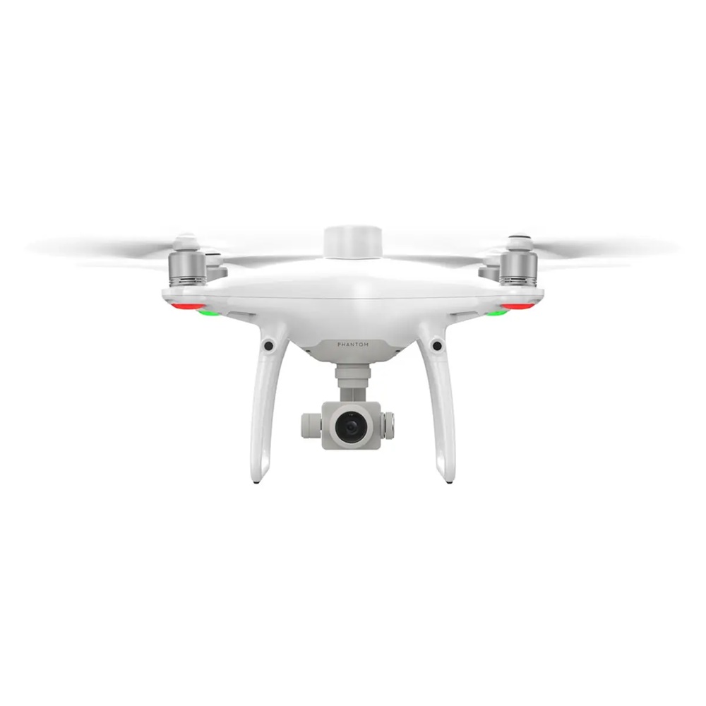
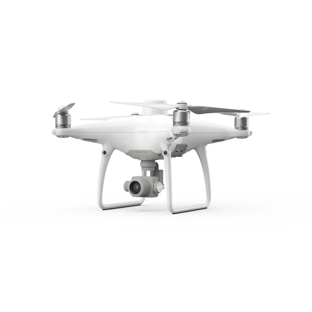
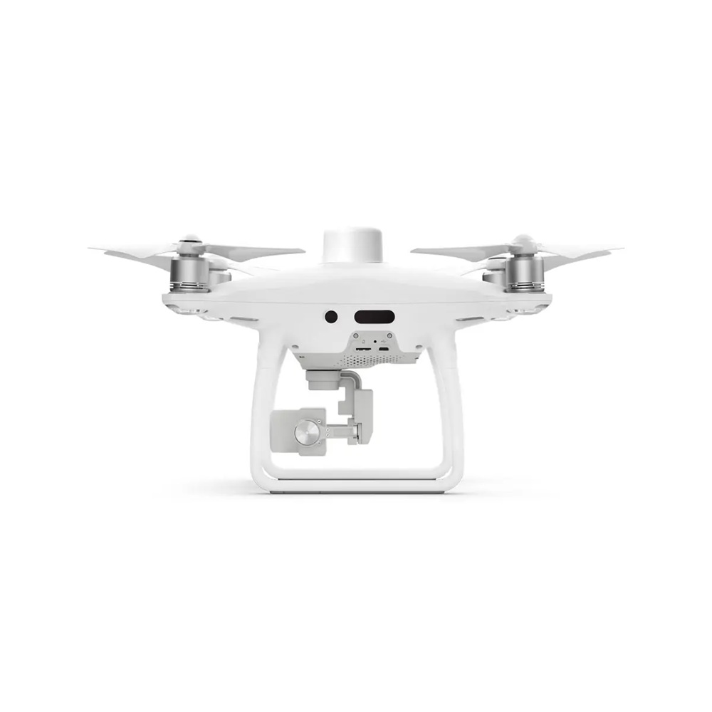
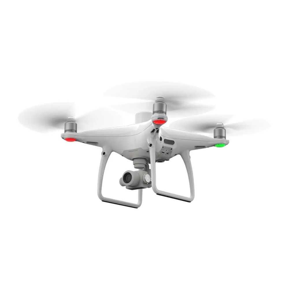
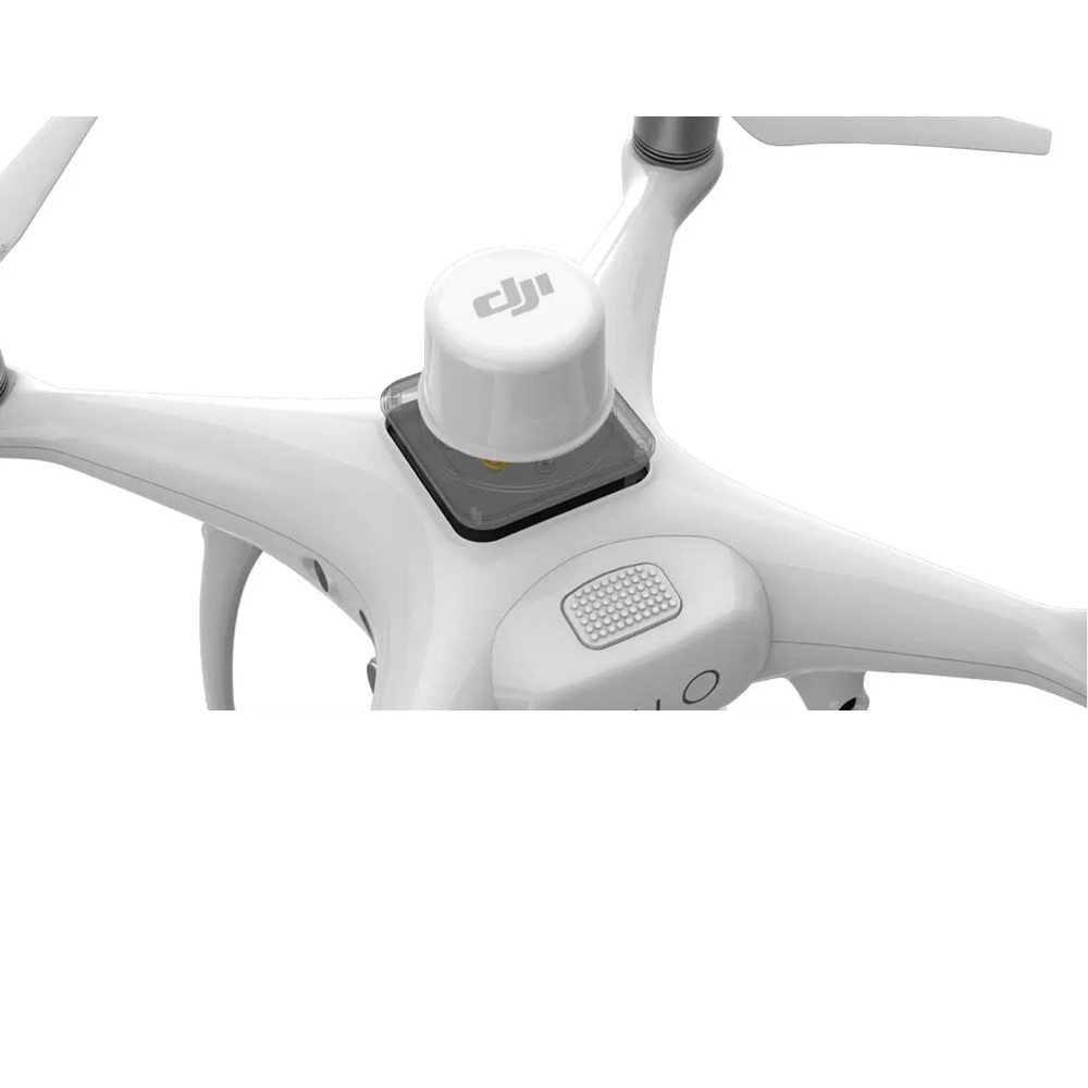
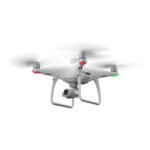
The DJI Phantom 4 RTK SE is a high-precision drone designed for professionals in aerial mapping and surveying. Featuring a 1-inch, 20MP sensor, RTK module for centimeter-level accuracy, and a bright 5.5-inch display, it ensures reliable, detailed data collection. With advanced features like a mechanical shutter and OcuSync transmission, this drone is perfect for mapping, inspections, and environmental monitoring.
- Delivery & Return
Delivery
Online delivery FREE
Orders are processed whiten 12 hours of being placed. And shipping times 1-5 days via UPS and FedEx.Returns
Return
Once we receive your returned item, it will typically be processed within 7-10 business days. You will be notified via email when the refund is complete. Refunds are issued to the original payment method, and depending on your financial institution, it may take an additional 1-3 business days for the funds to appear in your account.Exclusions
Returns may not be accepted for items that: Are damaged due to improper use or unauthorized modifications. Are missing original components or accessories. Lack a valid proof of purchase. For products that experience defects or issues beyond 30 days, manufacturer warranty claims can be initiated through our support team or directly with the manufacturer, like DJI for drones.Returns in store FREE
Refunds for in-store returns are processed instantly. Upon completing your return, you’ll receive confirmation, and the funds will be immediately refunded to your original payment method. - Ask a Question
Introducing the DJI Phantom 4 RTK SE, the ultimate solution for professionals seeking unparalleled precision in aerial mapping and surveying. This state-of-the-art drone combines advanced RTK technology with user-friendly features, ensuring accurate data collection for your most demanding projects.
Key Features:
- High-Precision RTK Module: Achieve centimeter-level accuracy with the integrated Real-Time Kinematic (RTK) module, providing 1 cm + 1 ppm horizontal and 1.5 cm + 1 ppm vertical positioning accuracy.
- 1-Inch, 20MP CMOS Sensor: Capture stunning, high-resolution images with the large 1-inch sensor, ensuring exceptional detail and clarity for all your mapping needs.
- Mechanical Shutter: Eliminate rolling shutter distortion with the mechanical shutter, allowing for seamless image capture even during high-speed flights.
- OcuSync Transmission System: Experience stable and reliable HD image and video transmission at distances of up to 7 km, perfect for mapping larger sites.
- 5.5-Inch Ultra-Bright Display: The remote controller features a built-in 5.5-inch, 1080p display with 1000 cd/m² brightness, ensuring clear visibility even in direct sunlight.
- Hot-Swappable Batteries: Minimize downtime with hot-swappable batteries, allowing for uninterrupted operations during extended missions.
Why Choose the DJI Phantom 4 RTK SE?
Designed with industrial users in mind, the Phantom 4 RTK SE offers a compact and reliable solution for low-altitude mapping. Its advanced technology rivals some of the most sophisticated equipment available, yet it comes in an easier-to-use and more affordable package.
Applications:
- Aerial Mapping and Surveying: Obtain precise geospatial data for construction, agriculture, and land management projects.
- Infrastructure Inspection: Conduct detailed inspections of bridges, towers, and other structures with ease.
- Environmental Monitoring: Monitor and assess environmental changes with high-resolution imagery.
Customer Testimonials:
“The Phantom 4 RTK is still, even in 2022, the best entry-level RTK drone on the market. At its price point, the competition has yet to produce a viable alternative.”
What’s Included:
- Aircraft ×1
- Remote controller with screen ×1
- Propeller ×4 pairs
- Smart flight battery ×2
- Power adapter ×1
- AC power cord ×1
- 65W portable charger ×1
- Smart battery for remote controller (WB37) ×1
- WB37 smart battery charger (USB-C) ×1
- Gimbal lock ×1
- MicroSD card ×1
- Micro USB cable ×1
- Carrying case ×1
- USB-C OTG cable ×1
- USB-C cable ×1
- Wireless network card ×1
Specifications:
- Maximum Flight Time: Up to 30 minutes
- Operating Temperature Range: 32° to 104° F (0° to 40° C)
- Camera Resolution: 20 megapixels
- Video Resolution: 4K at 60fps
Order Yours Today!
Elevate your aerial mapping and surveying capabilities with the DJI Phantom 4 RTK SE. Experience the perfect blend of precision, reliability, and ease of use.
DJI Phantom 4 RTK SE Specifications
| Category | Specification |
|---|---|
| Aircraft | |
| Takeoff Weight | 1391 g |
| Diagonal Distance | 350 mm |
| Max Service Ceiling | 19685 ft (6000 m) |
| Max Ascent Speed | 6 m/s (automatic flight), 5 m/s (manual control) |
| Max Descent Speed | 3 m/s |
| Max Speed | P-Mode: 31 mph (50 kph), A-Mode: 36 mph (58 kph) |
| Max Flight Time | Approx. 30 minutes |
| Operating Temperature Range | 32° to 104° F (0° to 40℃) |
| Operating Frequency | 2.400 GHz - 2.483 GHz (Europe, Japan, Korea); 5.725 GHz - 5.850 GHz (United States, China) |
| Transmission Power (EIRP) | 2.4 GHz: < 20 dBm (CE/MIC/KCC); 5.8 GHz: < 26 dBm (FCC/SRRC/NCC) |
| Hover Accuracy Range | RTK enabled: Vertical: ±0.1 m, Horizontal: ±0.1 m; RTK disabled: Vertical: ±0.5 m (GNSS) |
| GNSS Module | |
| Single-Frequency GNSS | GPS + BeiDou + Galileo (Asia); GPS + GLONASS + Galileo (other regions) |
| Multi-Frequency RTK GNSS | GPS: L1/L2; GLONASS: L1/L2; BeiDou: B1/B2; Galileo: E1/E5a |
| First-Fixed Time | < 50 s |
| Positioning Accuracy | Vertical: 1.5 cm + 1 ppm; Horizontal: 1 cm + 1 ppm (RMS) |
| Mapping Functions | |
| Mapping Accuracy | Meets ASPRS Accuracy Standards for Digital Orthophotos Class III |
| Ground Sample Distance (GSD) | (H/36.5) cm/pixel (H = aircraft altitude relative to shooting scene) |
| Data Acquisition Efficiency | Max operating area: approx. 1 km² per flight at 182 m altitude |
| Gimbal | |
| Stabilization | 3-axis (tilt, roll, yaw) |
| Pitch | -90° to +30° |
| Max Angular Speed | 90°/s |
| Angular Vibration Range | ±0.02° |
| Vision System | |
| Velocity Range | ≤31 mph (50 kph) at 6.6 ft (2 m) above ground |
| Altitude Range | 0-33 ft (0 - 10 m) |
| Operating Range | 0-33 ft (0 - 10 m) |
| Obstacle Sensing Range | 2-98 ft (0.7-30 m) |
| Field of View (FOV) | Forward/Rear: 60° horizontal, ±27° vertical; Downward: 70° front/rear, 50° left/right |
| Camera | |
| Sensor | 1" CMOS, Effective pixels: 20 M |
| Lens | FOV 84°, 8.8 mm / 24 mm (35 mm equivalent: 24 mm, f/2.8 - f/11, autofocus: 1 m - ∞) |
| ISO Range | Video: 100-3200 (Auto), 100-6400 (Manual); Photo: 100-3200 (Auto), 100-12800 (Manual) |
| Max Image Size | 4864×3648 (4:3), 5472×3648 (3:2) |
| Video Recording Modes | H.264, 4K: 3840×2160 30p |
| Remote Controller | |
| Operating Frequency | 2.400 GHz - 2.483 GHz (Europe, Japan, Korea); 5.725 GHz - 5.850 GHz (United States, China) |
| Max Transmission Distance | FCC: 4.3 mi (7 km); CE/MIC/KCC/SRRC: 3.1 mi (5 km) |
| Display | 5.5-inch screen, 1920×1080, 1000 cd/m² |
| Memory | 4G RAM + 16G ROM |
| Battery | |
| Capacity | 5870 mAh |
| Voltage | 15.2 V |
| Energy | 89.2 Wh |
| Net Weight | 468 g |
| 5 |
|
6 |
| 4 |
|
0 |
| 3 |
|
0 |
| 2 |
|
0 |
| 1 |
|
0 |
Only logged in customers who have purchased this product may leave a review.
Related Products
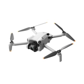
Elevate your aerial creativity with the DJI Mini 4 Pro, a lightweight yet powerful drone featuring a 48 MP camera, 4K/60fps HDR video, and true vertical shooting for stunning visuals. With omnidirectional obstacle sensing, up to 34 minutes of flight time, and intelligent features like ActiveTrack 360°, it’s perfect for beginners and professionals alike. Compact and travel-friendly, this drone redefines what’s possible in portable technology.
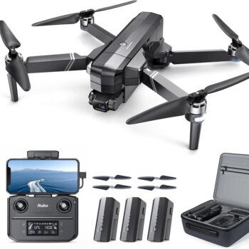
Experience the thrill of aerial photography with the Ruko F11GIM2 Drone, featuring a stunning 4K camera and advanced stabilization technology for crystal-clear shots. With an impressive flight time of up to 64 minutes and intelligent GPS features, this drone empowers you to explore vast landscapes effortlessly. Elevate your adventures today and capture unforgettable moments from above!
Experience effortless creativity with the ultra-lightweight DJI Neo drone, perfect for adventures big or small. Capture stunning 4K stabilized videos with AI subject tracking, QuickShots, and multiple control options, including voice commands and app-based flight. Compact, safe, and regulation-friendly, it’s ready for takeoff straight from your palm!
Capture your world like never before with the DJI Mini 2 SE—an ultra-light, beginner-friendly drone designed for on-the-go adventurers. Weighing under 249 grams, it’s registration-free for recreational use and delivers up to 31 minutes of flight time, 12MP photos, and 2.7K video. With an intuitive app and powerful wind resistance, the Mini 2 SE makes stunning aerial creativity effortless.
Experience breathtaking flights with the DJI Avata 2 Fly More Combo. Enjoy intuitive motion control, stunning 4K/60fps video, and effortless aerobatic capabilities. Capture life’s thrills and take to the skies with ease.
Capture cinematic 4K video and 20MP photos with the DJI Phantom 4 Pro V2.0, a premium drone offering intelligent flight modes and ultra-smooth controls. Equipped with a 1-inch sensor, OcuSync 2.0, and a 30-minute flight time, it delivers unbeatable performance for creative and professional projects.
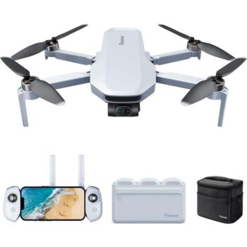
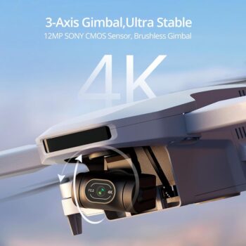
The Potensic ATOM Fly More Combo is an ultra-lightweight drone packed with features, including a 4K camera stabilized by a 3-axis gimbal, intelligent flight modes, and up to 32 minutes of flight time. Ideal for beginners and seasoned enthusiasts alike, it combines portability and power for stunning aerial photography. Take your creativity to new heights with advanced tracking, quick-shot modes, and a long-range HD video transmission system.
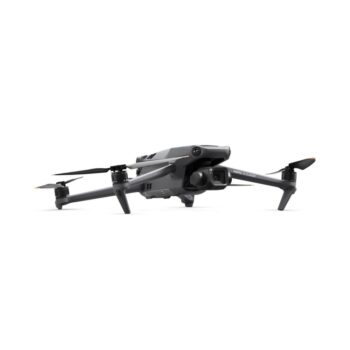
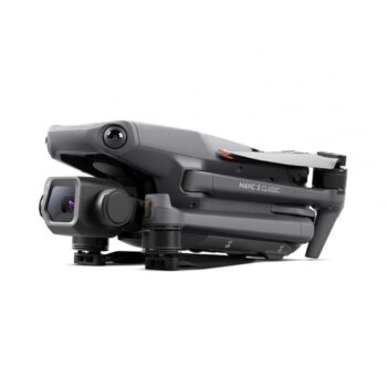
Capture cinematic brilliance with the DJI Mavic 3 Classic, featuring a Hasselblad 4/3 CMOS camera for stunning 20 MP photos and 5.1K video. Enjoy up to 46 minutes of flight time, omnidirectional obstacle sensing, and 15 km HD video transmission for seamless and safe exploration. Paired with the intuitive DJI RC remote, this drone redefines ease and excellence in aerial photography.
Capture stunning aerial footage with the DJI Air 3 and DJI RC-N2, featuring a dual-camera system for wide-angle and telephoto shots, 46-minute flight times, and advanced obstacle sensing. Enjoy ultra-low latency with O4 HD video transmission up to 20 km and intelligent modes like Waypoint and MasterShots, perfect for creatives and adventurers. Push your limits with this versatile drone.
Take your aerial adventures to new heights with the Ruko U11PRO drone, featuring a 4K UHD camera with anti-shake technology for stunningly clear visuals and cinematic footage. With up to 26 minutes of flight time, intelligent GPS navigation, and beginner-friendly controls, it’s perfect for capturing breathtaking moments effortlessly. Compact, portable, and packed with advanced features, the U11PRO is your ultimate drone for exploration and creativity.
Take your aerial creativity to new heights with the DJI Mavic 3 Pro Fly More Combo (DJI RC). Featuring a triple-camera system, including a 4/3 CMOS Hasselblad camera, extended 43-minute flight time, and omnidirectional obstacle avoidance, this drone is designed for professionals and enthusiasts alike. Complete with essential accessories and advanced features, it ensures seamless control and stunning results for every flight.
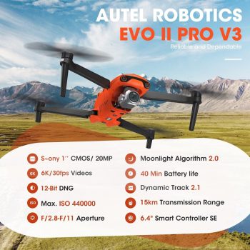
Capture stunning 6K footage with the Autel EVO II Pro V3, featuring a powerful 20MP 1-inch CMOS sensor and advanced features like 12-bit DNG for enhanced post-production flexibility. Enjoy up to 40 minutes of flight time, 360° obstacle avoidance, and the cutting-edge Autel SkyLink 2.0 for stable transmission at distances up to 15KM. Whether you’re a professional photographer or filmmaker, the EVO II Pro V3 offers the perfect combination of performance, safety, and control.

Randy L. (verified owner) –
The DJI Phantom 4 RTK SE is an absolute gem for professional mapping and surveying. Point accuracy is guaranteed with the RTK module and I have noticed a superb difference from my older drone on the quality of my mapping projects. Crystal clear images are also produced with the camera’s 1 inch sensor even in lower light conditions, which makes it again perfect for early morning flights. The remote controller with its built in screen takes care of that, making setup a snap and a world of difference compared to juggling apps or external devices. The battery life is incredibly good and I can fly long distance over large areas in a single flight. And the obstacle sensor system is dead on reliable, something I value so much. For this price you’ll be hard pressed to find another drone with as much performance and features.
[...]Samantha D. (verified owner) –
The battery life is impressive — 30 mins flight time is just about right to follow through on my aerial projects in a single go.
[...]Jonas H. (verified owner) –
The 1 inch sensor generates stunning image quality on this little drone and it handles beautifully too. It’s like working a professional camera.
[...]Carlos M. (verified owner) –
Of other drones I’ve used for mapping, nothing stacks up to the Phantom 4 RTK SE. It’s so smooth even up in the windy conditions!
[...]Emily R. (verified owner) –
The accuracy on this drone is phenomenal. As a surveyor, the RTK system saves me so much time in post-processing, and the results are spot on!
[...]Denise R. (verified owner) –
After spending countless hours researching the Phantom 4 RTK SE to use on my construction projects, I decided to drop $3000 and it’s been worth every penny. Accuracy of the ground sampling distance (GSD) is very good, which has drastically cut the time required to edit data. Even on windy days the drone still handles nicely in the air and the gimbal is very stable. My flight paths are quick, precise and efficient because the dual-frequency RTK system locks on to GPS satellites quickly. It’s lightweight, easy to carry and has the included carrying case with extra batteries so it stays operational all day long. What I wasn’t prepared for was just how intuitive the controls are, even as someone with only a few flights under their belt. This drone delivers professional results at the user’s fingertips!
[...]